Golden Suites Italy
Mantua–Peschiera cycle path: route, stages, return and tips
At a glance
- Length: about 40 km, depending on the starting point
- Height gain: almost none, with a slight climb towards Lake Garda
- Time: 3–4 hours by bike including stops; a full day with sightseeing
- Stages: Bosco Fontana, Pozzolo, Borghetto, Monzambano and Peschiera
- Please note: no drinking fountains outside the villages: bring water
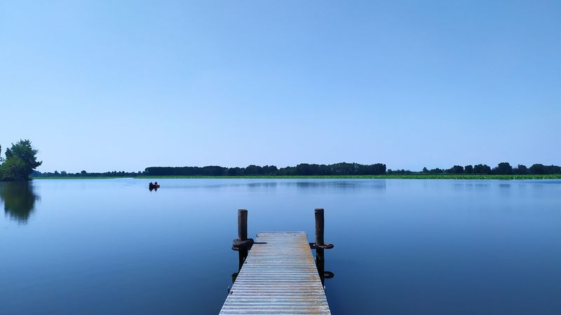
The Mantua–Peschiera cycle path follows the Mincio from the lake at Mantua to the point where the river leaves Lake Garda. It is about 40 kilometres, almost all flat, for the most part inside the Mincio Regional Park, among woods, mills, villages and castles. It is one of the best-loved cycle paths in northern Italy, suitable even for those who cycle little.
The stages of the route
From Mantua to Bosco Fontana
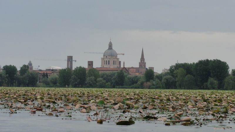
You set off from the Upper Lake, along the shore near the Mulini Bridge. The first stretch leads to the Bosco Fontana Nature Reserve, a wood of oaks, hornbeams and maples with the Gonzaga hunting lodge: you leave your bike at the entrance and go in on foot.
Marmirolo, Massimbona and Pozzolo
You continue to Marmirolo (about 9 km from the city) and along local roads to the overflow canal, where the cycle path joins the towpath, the road on the embankment, which it follows all the way to Peschiera. A short detour leads to Massimbona, with a Romanesque parish church and a medieval mill still in operation. At Pozzolo (about 16 km) you meet the Mincio.
Borghetto sul Mincio
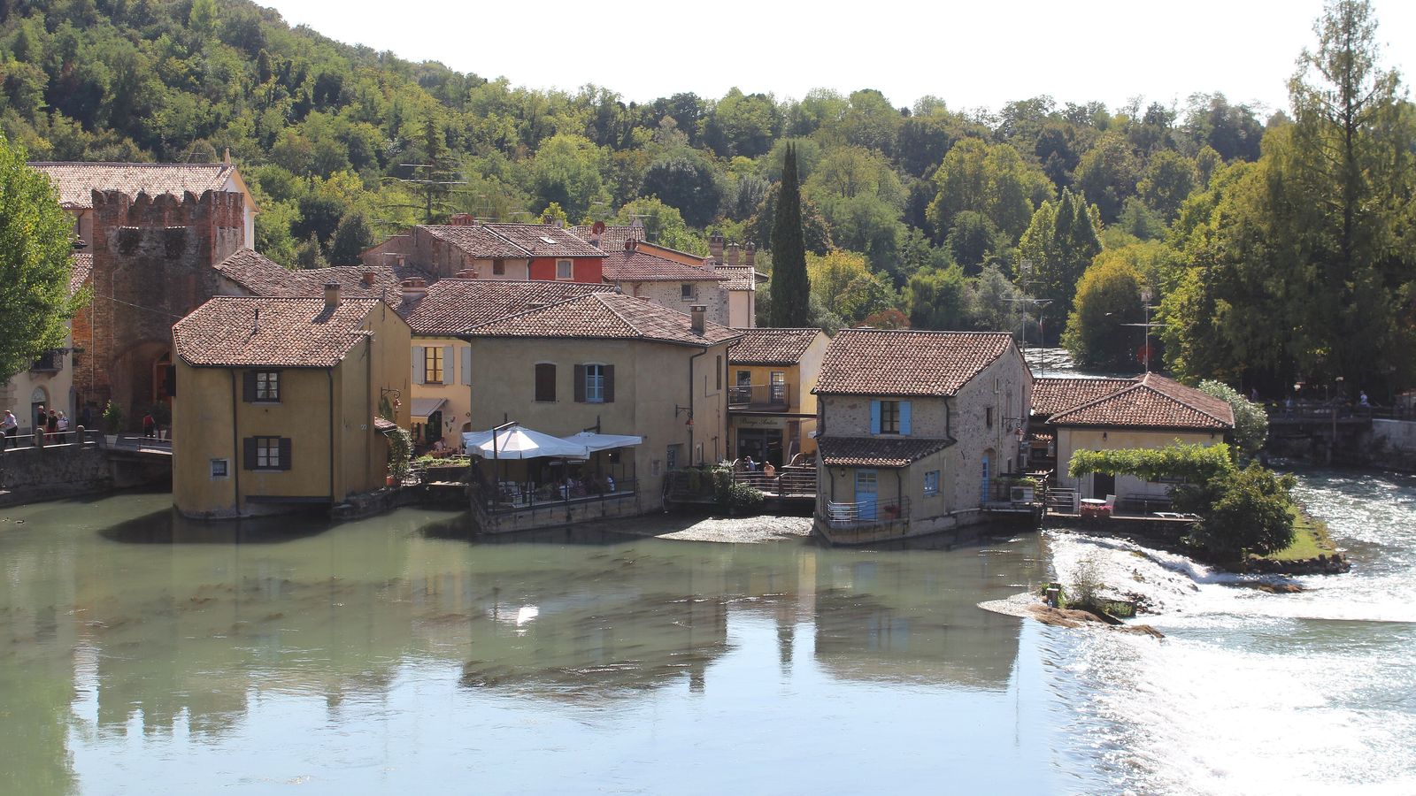
After the mills of Volta Mantovana you reach Borghetto (about 22 km), the village of mills on the water at the foot of the Visconti Bridge, in the territory of Valeggio sul Mincio. It is the loveliest stop on the route: you walk among the lanes and the restored mills, climb onto the bridge and, with a small detour, reach the Sigurtà Garden Park.
Monzambano, Salionze and Peschiera
You carry on north to Monzambano (about 27 km), with its castle on the hill, and to the Salionze dam, where the cycle path crosses to the right bank and runs among poplars. You arrive at the Peschiera del Garda Fortress, about 37 km from the first stretch in the city. From here the lake opens out.
Length and surface
The Mincio Park measures the route at about 37 km and the Mantua tourism portal at over 44, depending on the starting point in the city and on variants: allow about forty kilometres. The surface is mostly asphalt, with some stretches on low-traffic roads. The height gain is minimal: towards Peschiera you climb slightly, almost without noticing.
Getting back
- By bike: there and back is about 80 km, a full day for those who are fit.
- By train: from Peschiera del Garda you return to Mantua by train, usually changing at Verona. On regional trains bikes travel with a dedicated ticket, in the designated spaces: check first on the Trenitalia website.
- Halfway: if you want a shorter day you can stop at Borghetto and turn back, for about 45 km in all.
Tips
- Water: outside the built-up areas there are no places to refill, so set off with full bottles.
- When to go: spring and early autumn are ideal; in summer set off early, because long stretches are in the sun. In May the Park organises Roundabike, a calendar of events devoted to cycling.
- Maps: the Mincio Park makes the route's GPX track available.
- Rental: for our guests there is a partner offer on bike and e-bike rental.
- Sleeping by the lake: if you want to do the cycle path in two days, at Peschiera there is our home Peschiera Near the Beach, close to the lake.
Before setting off, warm up your legs with the Mantua lakes circuit; for more ideas outside the city, read day trips from Mantua.
Frequently asked questions
How long is the Mantua–Peschiera cycle path?
About 40 km: the Mincio Park measures it at 37 km and the Mantua tourism portal at over 44, depending on the starting point and variants.
Is the Mantua–Peschiera cycle path difficult?
No, it is almost all flat and mostly asphalted. You only need a little fitness for the distance, especially if you ride there and back.
How do you get back from Peschiera to Mantua?
By bike, for about 80 km in total, or by train, usually changing at Verona: on regional trains bikes travel with a dedicated ticket.
Where to stop along the cycle path?
At Bosco Fontana, at Massimbona for the parish church and the mill, at Borghetto sul Mincio with its mills and the Visconti Bridge, and at Monzambano.
Sources and further reading
Information checked against the official websites on 22 October 2026: